Log in
All resources
Create a design
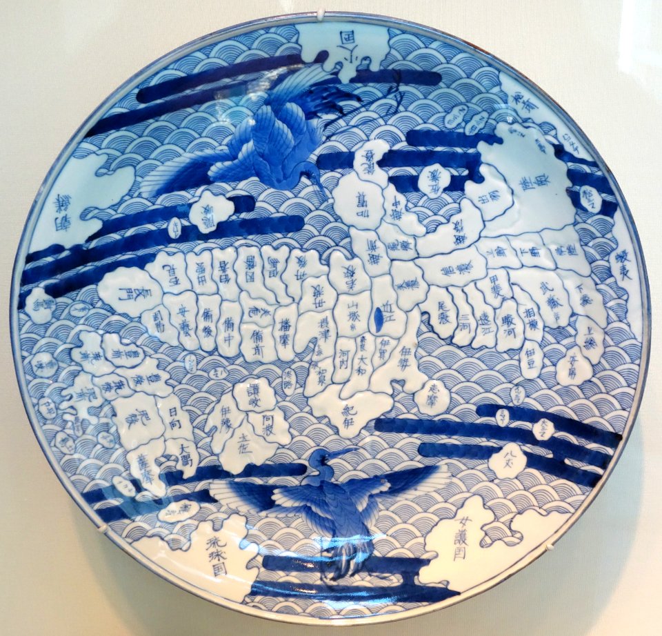
377 Free Images of 1800 Maps
cc-zero
pages with maps
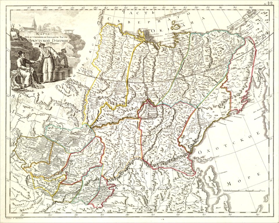
atlas of the russian empire (1800)
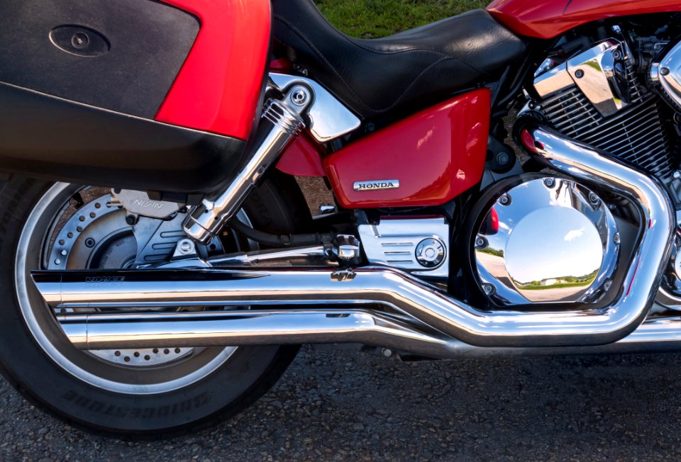
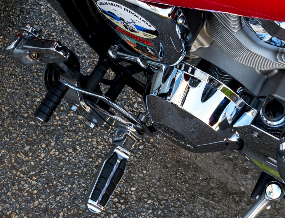
honda vtx 1800 c
vehicles in lysekil municipality
images by w.carter
retouched pictures
bibliothèque nationale de france
files from the bodleian libraries
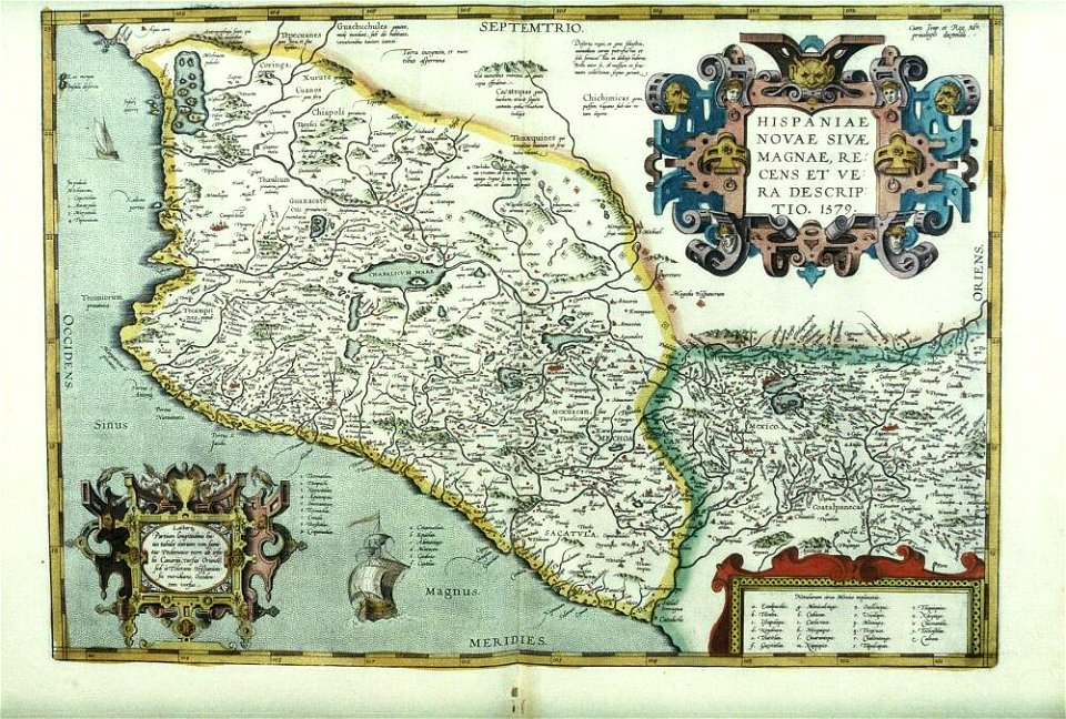
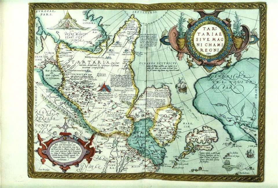
theatrum orbis terrarum (london 1606)
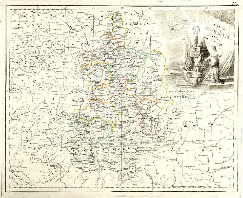
atlas of the russian empire (1800)
maps of voronezh governorate
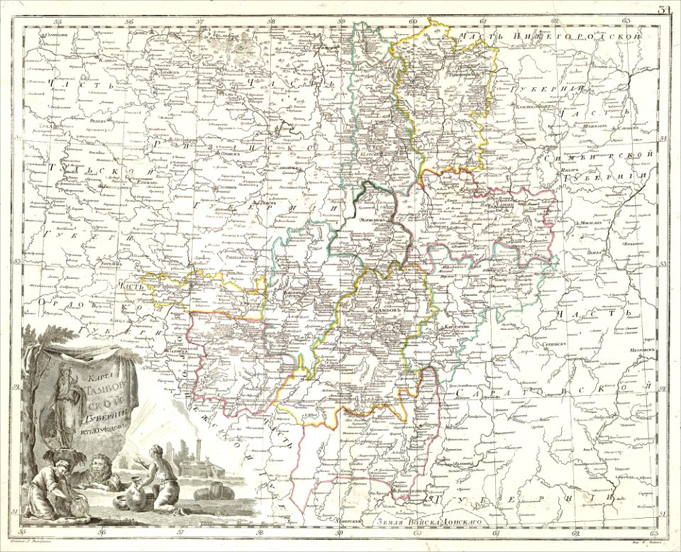
atlas of the russian empire (1800)
maps of tambov governorate
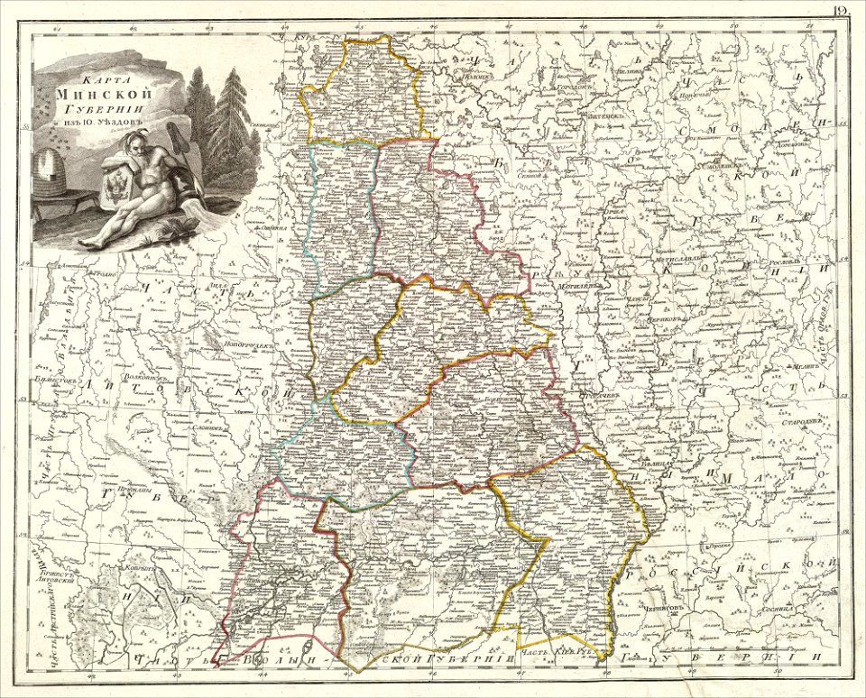
atlas of the russian empire (1800)
maps of minsk governorate
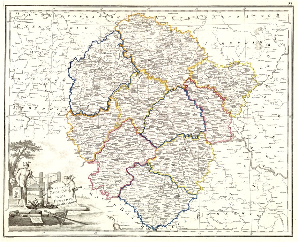
atlas of the russian empire (1800)
maps of yaroslavl governorate
atlas of the russian empire (1800)
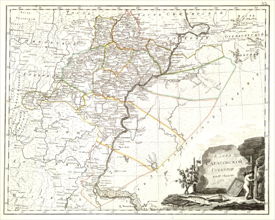
maps of saratov governorate
atlas of the russian empire (1800)
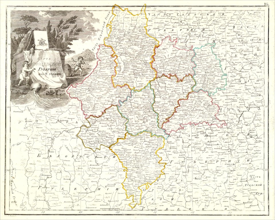
maps of smolensk governorate
atlas of the russian empire (1800)
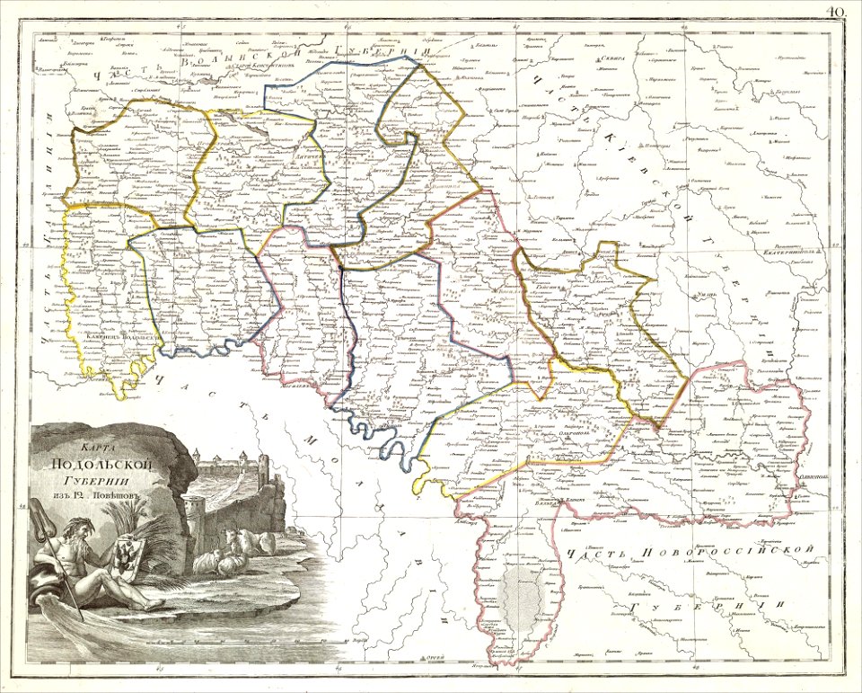
maps of podolia governorate
atlas of the russian empire (1800)
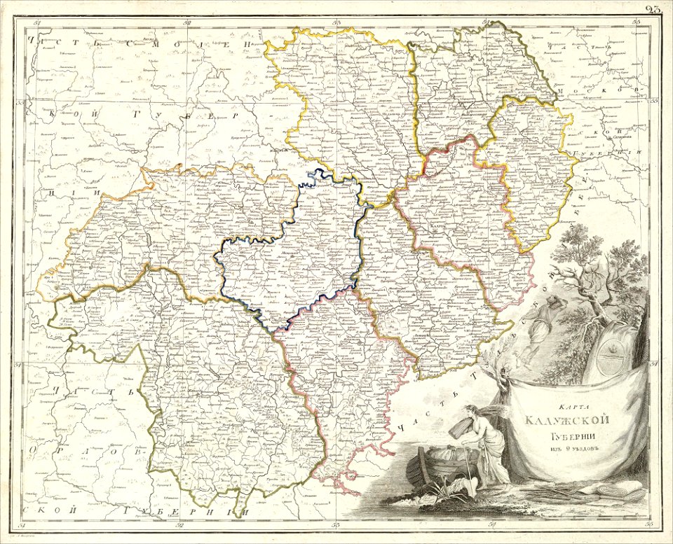
old maps of kaluga governorate
atlas of the russian empire (1800)
old maps of vyatka governorate
atlas of the russian empire (1800)
old maps of kursk governorate
atlas of the russian empire (1800)
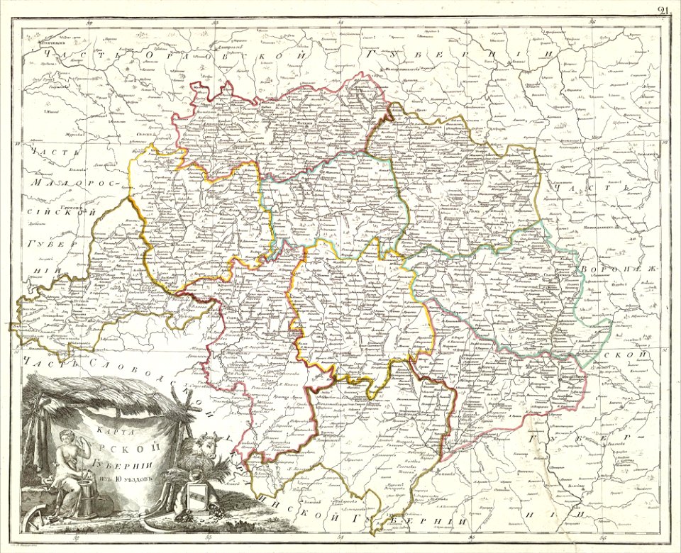
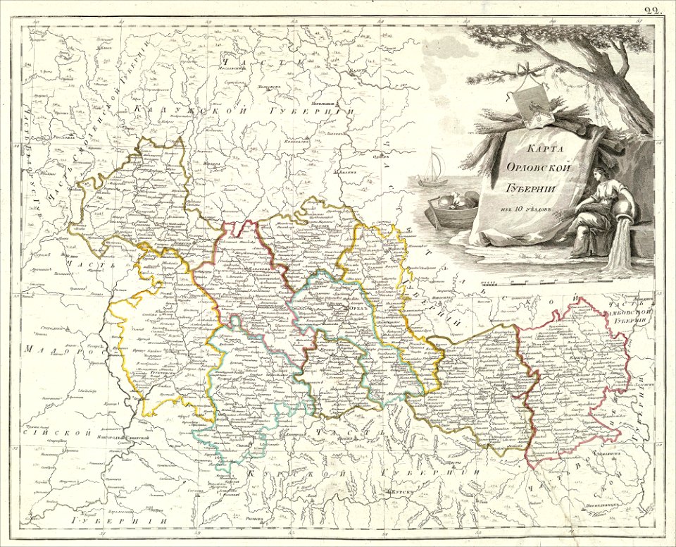
old maps of oryol governorate
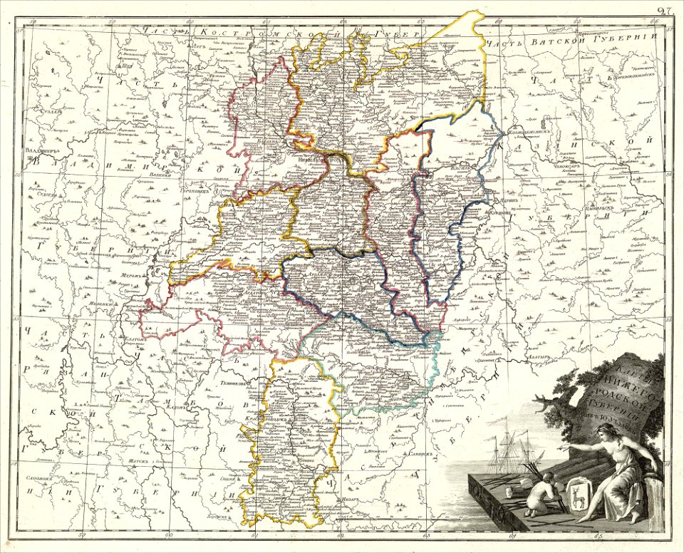
maps of nizhny novgorod governorate
atlas of the russian empire (1800)
atlas of the russian empire (1800)
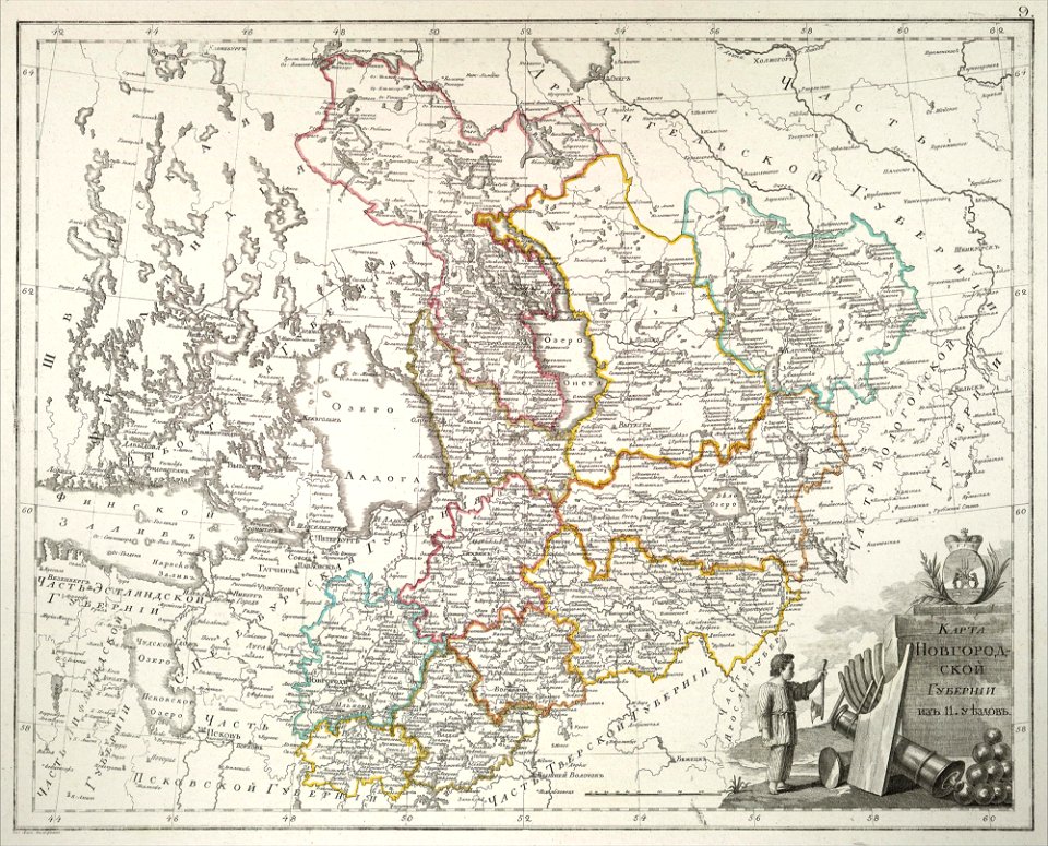
old maps of novgorod governorate
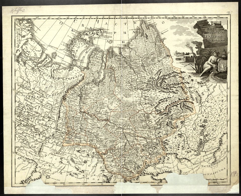
atlas of the russian empire (1800)
old maps of tobolsk governorate
africa
maps
old maps of saint petersburg governorate
atlas of the russian empire (1800)
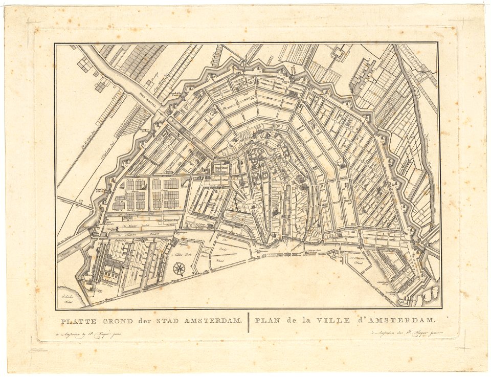
old maps of amsterdam
pierre fouquet junior
old maps of amsterdam
pierre fouquet junior
maps in russian state archives of ancient documents
historical images of haradok
old maps of amsterdam
pierre fouquet junior
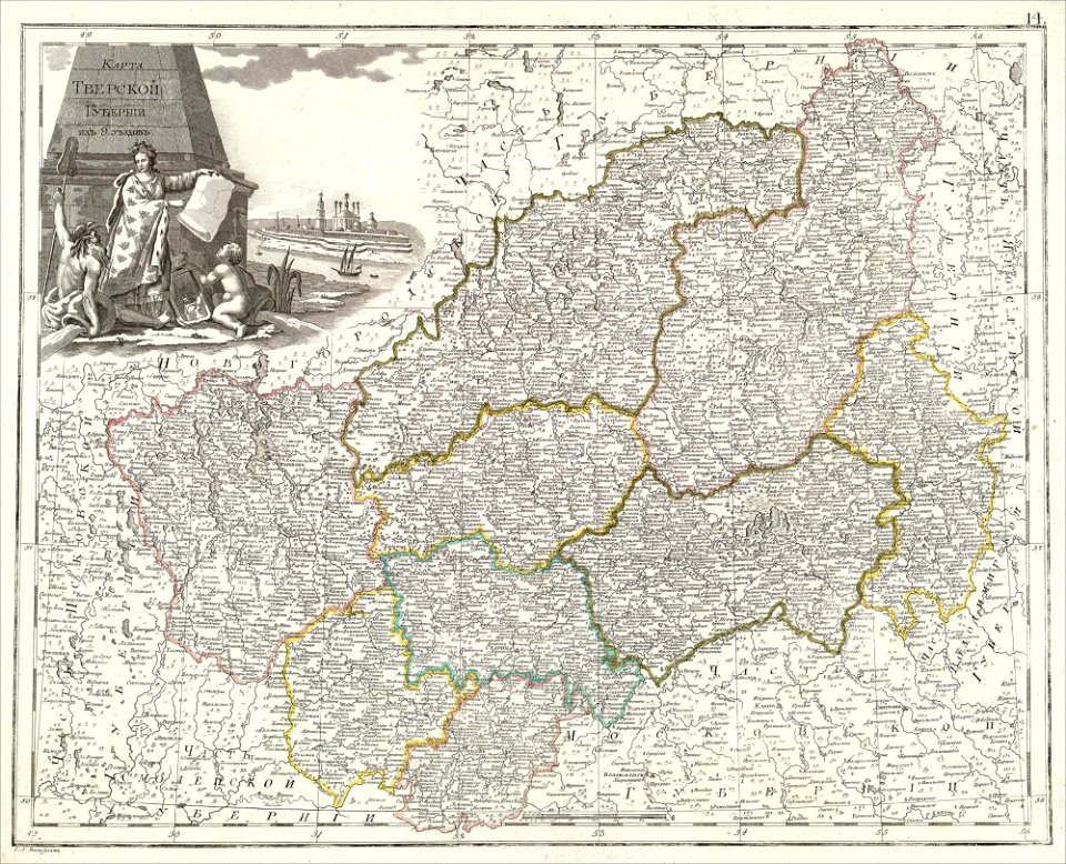
atlas of the russian empire (1800)
tver governorate
ocean
maps
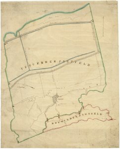
holwinde
usquert
sketch
maps
atlas of the russian empire (1800)
old maps of kharkov governorate
maps from the mechanical curator collection
old maps of prussia
collections de la bibliothèque nationale et universitaire de strasbourg
maps of strasbourg in the 18th century
maps of offenbach am main
atlas of the russian empire (1800)
old maps of irkutsk governorate
globe
maps
mdcclxxvi (numeral)
1776 maps
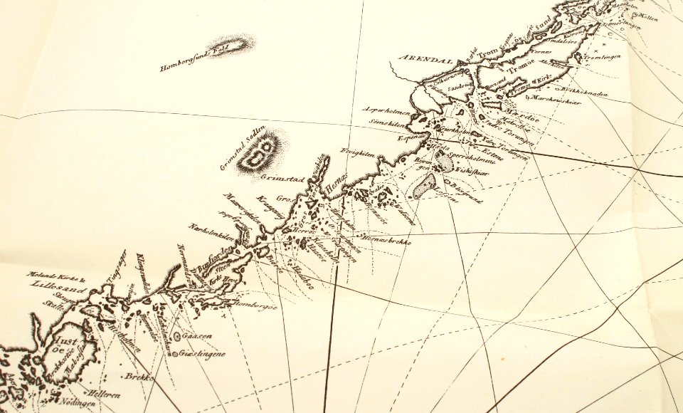
old maps of aust-agder
grimstad
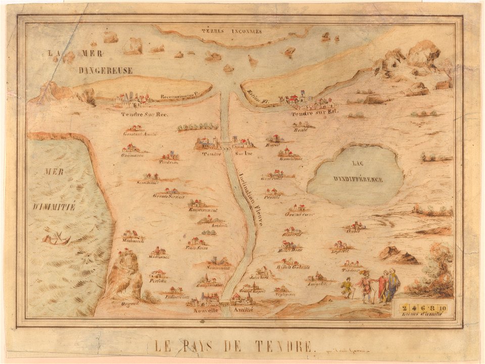
cornell: persuasive cartography: the pj mode collection
cornell university library
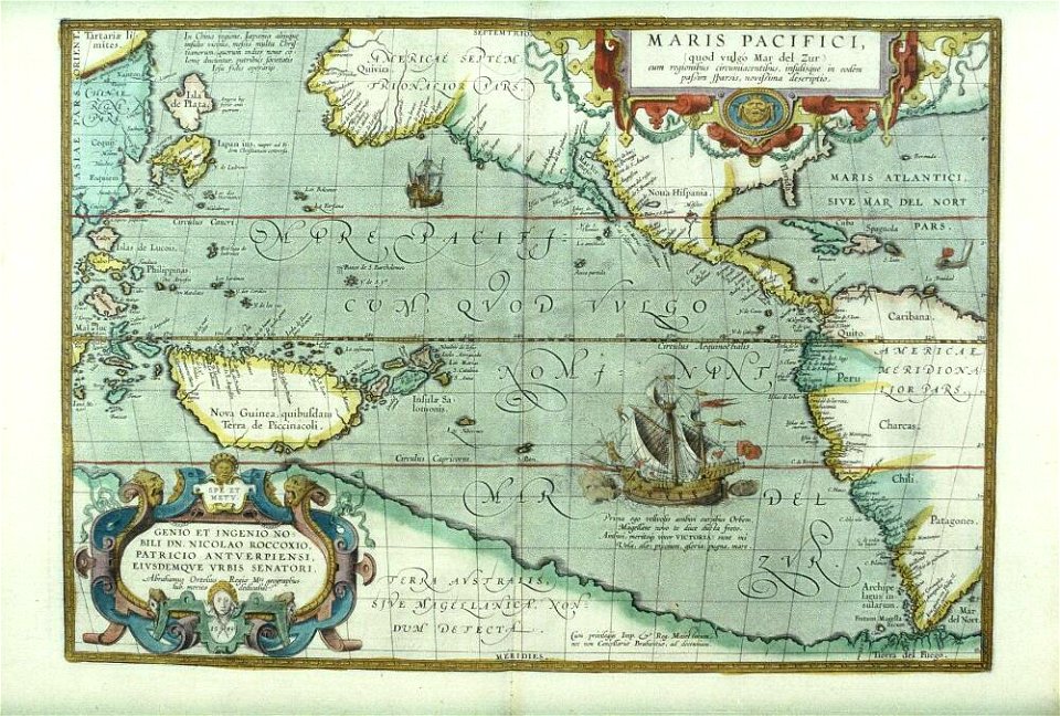
theatrum orbis terrarum (london 1606)
files from the bodleian libraries
theatrum orbis terrarum (london 1606)
files from the bodleian libraries
theatrum orbis terrarum (london 1606)
files from the bodleian libraries
theatrum orbis terrarum (london 1606)
files from the bodleian libraries
theatrum orbis terrarum (london 1606)
files from the bodleian libraries
files from the bodleian libraries
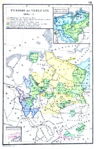
napoleonic wars
vehicles in lysekil municipality
honda vtx 1800 c
theatrum orbis terrarum (london 1606)
files from the bodleian libraries
theatrum orbis terrarum (london 1606)
files from the bodleian libraries
vehicles in lysekil municipality
honda vtx 1800 c
red motorcycle
gåseberg
honda vtx 1800 c
car
honda vtx 1800 c
car
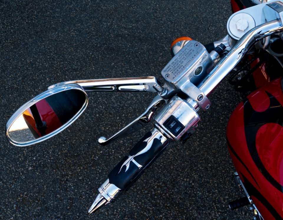
motorcycle handlebar
honda vtx 1800 c
vehicles in lysekil municipality
honda vtx 1800 c
self-published work
traffic
motorcycle handlebar
honda vtx 1800 c
motorcycle tires
car
automobile
car
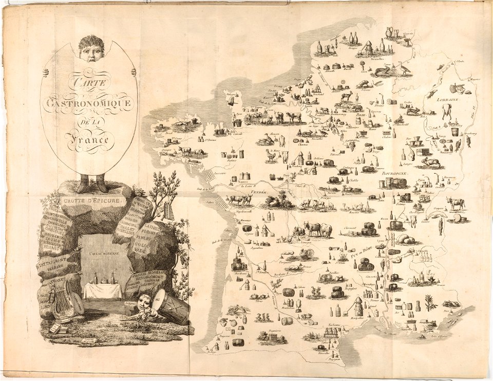
french cuisine
gastronomy
automobile
car
pages with maps
cc-zero
vehicle
car
v-twin motorcycle engines
car
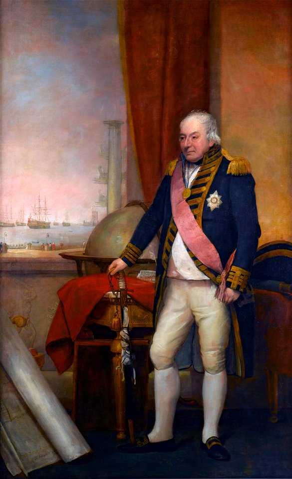
archduke charles
duke of teschen
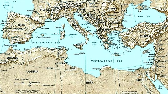
maps of the mediterranean sea
uss congress (1799)
self-published work
pages with maps
portrait paintings with natural background
jean lannes
domenico pellegrini
london
old maps of ireland
ireland
plate
food
self-published work
pages with maps
maps of the west-indische compagnie
1800 maps of the united states
metal
gold
self-published work
pages with maps
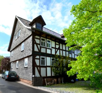
landscape
tree
village
roof
archduke charles
duke of teschen
19th-century portrait paintings in the musée national du château de versailles
jean charles nicaise perrin
self-published work
cc-pd-mark
self-published work
cc-pd-mark
self-published work
pages with maps
maps by john cary
1806 maps of asia
19th-century maps of southeast asia
aristide-michel perrot
1800s maps of the world
old maps of the world
athens in the ottoman era
old maps of athens
cornelis huyberts
guillaume sanson
alexis-hubert jaillot
henri sengre
maps of alsace by guillaume sanson
1700s maps of alsace
voyages and travels to india, ceylon, the red sea, abyssinia, and egypt, vol. 3
henry cooper (engraver)
maps of the course of the rhine by guillaume sanson
bibliothèque nationale de france
a voyage to abyssinia, and travels into the interior of that country, executed under the orders of the british government in the years 1809 & 1810
john outhett
paintings by wybrand hendriks
proveniershof, haarlem
maps of the history of düsseldorf
düsseldorf-altstadt
maps of the course of the rhine by guillaume sanson
guillaume sanson
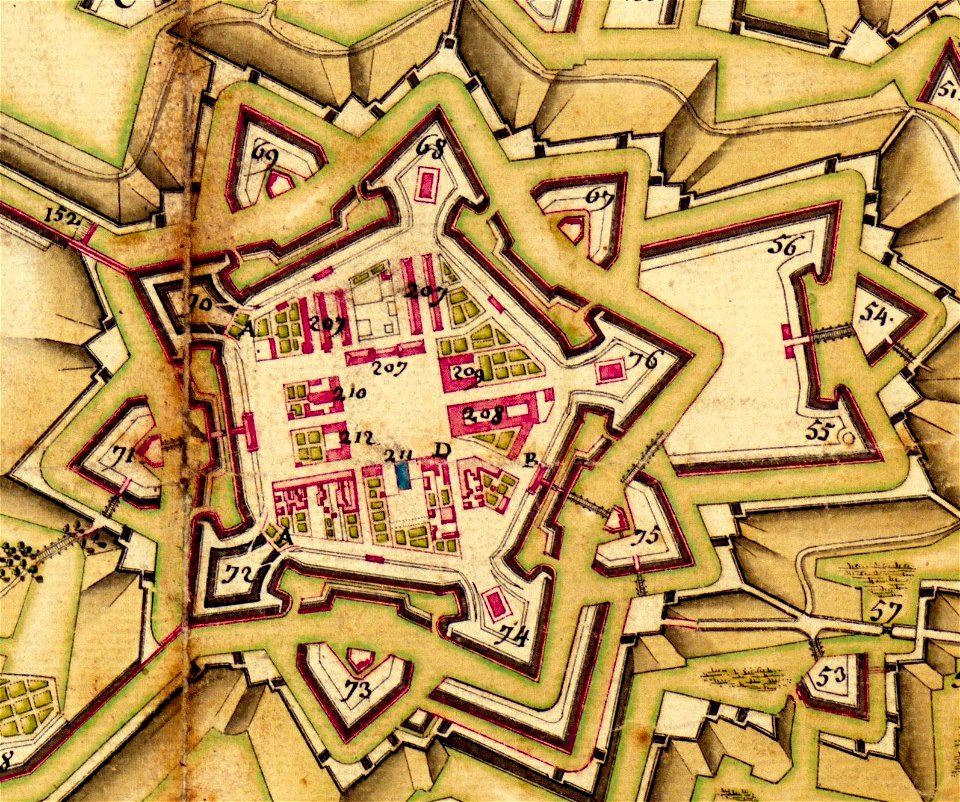
maps of wissembourg by braun & hogenberg
maps of rouffach by braun & hogenberg
1800 maps of the atlantic ocean
1800s maps of the americas
1800s maps of london
1801 in london
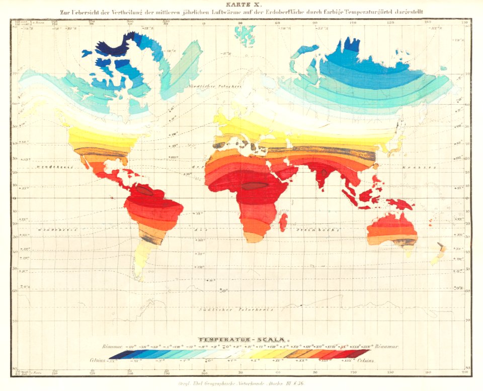
maps from the earth and its inhabitants, vol. x
1890 maps of africa
bibliothèque nationale de france
guillaume sanson
maps by john cary
1801 maps
birch's views of philadelphia
maps of philadelphia
maps, prints and photographs in royal danish library
old maps of kiel
maps from the earth and its inhabitants, vol. xi
algeria in the 1800s
19th-century maps of greece
pierre françois tardieu
maps of alsace by guillaume sanson
1660s maps of alsace
maps of territories in the lower saxony circle
maps by john cary
101 - 200 of 377
Next page
/ 4


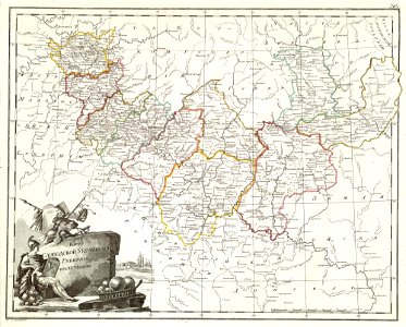


![Alsace divided into its main parts: namely the landgraviates of Upper and Lower Alsace and the Suntgaw / by Mr. Sanson, ...; Cordier sculpted; [cartouche] S[imonneau] f., 1700](https://cdn.creazilla.com/illustrations/10000469742/alsace-divided-into-its-main-parts-namely-the-landgraviates-of-upper-and-lower-alsace-and-the-suntgaw-by-mr-sanson-cordier-sculpted-cartouche-simonneau-f-1700-md.jpg)


